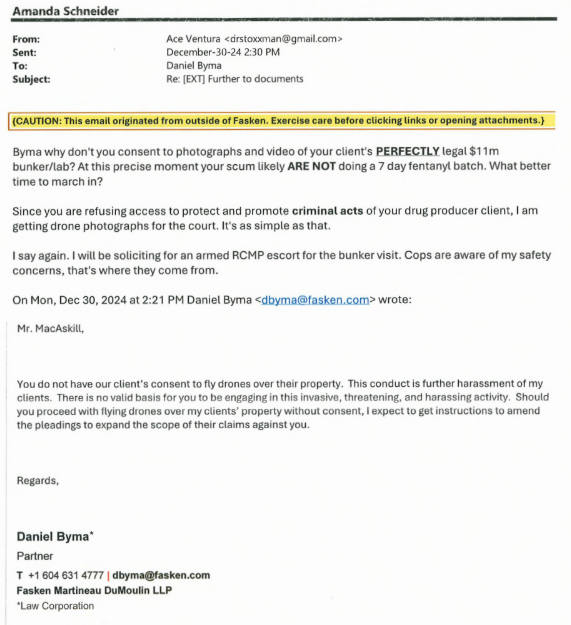
This blogger had ideas to get at the truth of the Sandher drug lab buried on Black Mountain in Kelowna. Two ideas were floated to corrupt Fasken Sandher lawyer Daniel Byma. One was an in-person visit accompanied by armed cops. The second was much safer drone flights over the bunker.
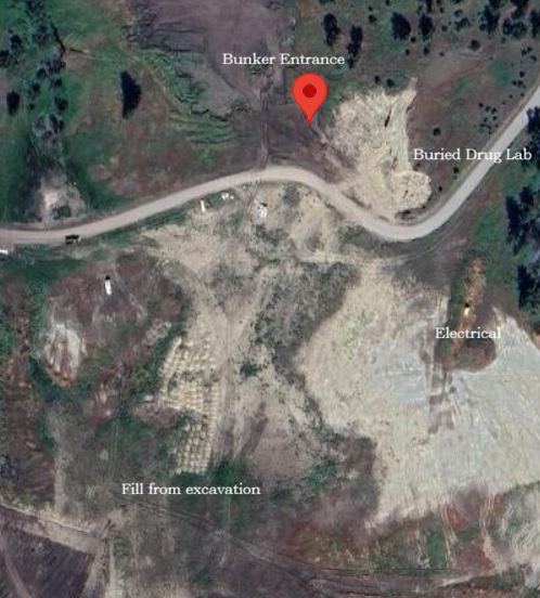
Map coordinates for the bunker entrance are 49°52’9.21″N, 119°17’15.67″W. The buried structure is 100m SE of the entrance and is 50m long, 22m wide, and 10m in height. The bunker/drug lab is made of reinforced concrete with 2 support columns in the center. It was built below grade and buried.
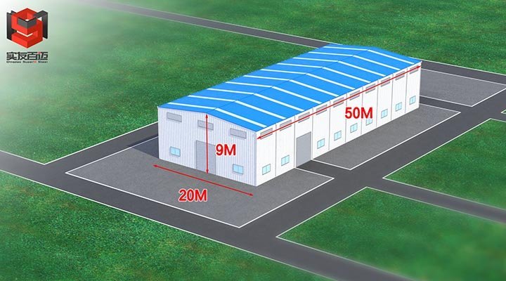
Sandhers say their $8m structure ($11m all in with lab equipment) is a water cistern. Byma and the Sandhers were strongly opposed to any photos of the ‘water cistern’ on Black Mountain.
This blogger failed in front of B.C. Supreme Court judges. All was not completely lost however as a concerned citizen near the bunker did take a drone over the property in November, 2024.
We don’t get a close-up of the bunker entrance, but we do get a superior view of the area around the illegal and unpermitted Sandher lagoon. Around 3:14 one may spot a lab bunker ventilation shaft, on the right. After this video was posted, the Sandhers began flying drones over their property for surveillance themselves.
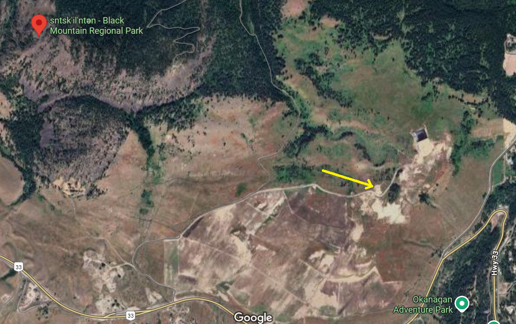
The airspace is near the airport and is restricted ‘Class D’. Flying drones is prohibited.
Drone over Sandher drug lab
by
Tags:
Comments
One response to “Drone over Sandher drug lab”
-
[…] for flying ‘agricultural drones’ in restricted airspace near the airport. After we published a drone flight video near their drug lab on Black Mountain, the Sandhers started using drones for survellance […]
Leave a Reply